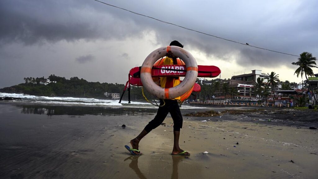

A lifeguard walks by at the deserted Kovalam beach on Friday as entry of tourists is prohibited due to bad weather and rough sea.
With southwest monsoon slipping into a lull phase after two rounds of intense spells over Kerala since the onset on May 24, no major spell is now expected in June with rainfall confined to some pockets, although light to moderate showers will continue.
The State cumulatively received over 800 mm of rain so far since the monsoon began its journey northwards from Keralay.
Considering the average monthly rainfall of Kerala in June, which is 648 mm, the State received excess rain in the first four weeks of the monsoon. However, the monsoon is still normal in Kerala as per the monsoon chart of the India Meteorological Department (IMD), as it considers the 440.5 mm received in the opening spell of the monsoon between May 24 and May 31 as pre-monsoon rain.
With no major weather systems in the Bay of Bengal and the Arabian Sea favourable for Kerala and the weakening of westerlies, monsoon rain will be subdued for the next two weeks.
“We expect a revival or another vigorous spell only by the end of the first week of July,” says Neetha K. Gopal, IMD Director, Thiruvananthapuram. The speciality of the monsoon this year was the high depth of the westerly wind influenced by large-scale atmospheric features.
According to weather scientists, the Somali Jet, a cross-equatorial wind system, was strong this time. Monsoon wind is entering the Indian subcontinent as a Somali Jet with the wind from the high-pressure cell of the Mascarene Islands in Madagascar entering African land and emerging back to the Indian Ocean and then to the Arabian Sea as Somali jet.
Further, the low pressure cells existed in the Arabian Sea, and then the depression formed over the Bay of Bengal by the last week of May helped the monsoon make rapid progress to the hinterlands of the country.
Although the monsoon covered up to Karnataka very fast, giving some intense spells of rain for Kerala in the last week of May, its progress northwards has been slow since then, especially after June 1, raising suspicion of a bogus onset.
Also, the permanent and semi-permanent features like the offshore trough have not developed as of today, and also the monsoon trough is also not clear till now, as it is merged with the existing low pressure system in the north.
The offshore vortices associated with the offshore trough had triggered torrential rain in July last year, triggering the catastrophic landslides in Kerala.
The delay in forming the offshore trough and associated vortices along the west coast is likely to give a breather to Kerala in July, as traditionally July accounts for the highest rainfall in the four-month southwest monsoon season in Kerala. Similarly, though the State received some intense spells, the extreme category of rain was limited to a few stations a couple of times.
Published – June 20, 2025 08:51 pm IST

